Task
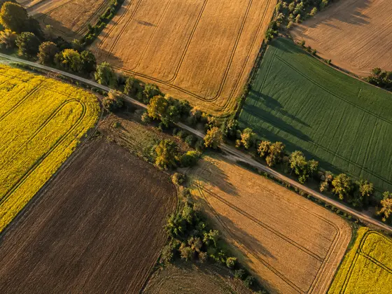
Get a real picture of farmland use: what is actually cultivated and where, and what is declared only on paper.
Agricultural holding
NDVI
And other vegetation indices.
NDVI
and other vegetation indices
Per field
crop type and land status
Field segmentation from imagery , NDVI and other index analysis, crop identification and actual land use.
Client
Agricultural holding
Industry
Agriculture
Areas
Satellite image segmentation, vegetation indices
ESTESIS role
Product development
Get a real picture of farmland use: what is actually cultivated and where, and what is declared only on paper.
A client in the agricultural sector. Name under NDA.
We developed a product that analyzes fields from satellite imagery.
NDVI
and other vegetation indices
Per field
crop type and land status
For every field the client sees whether it is cultivated and what grows on it — without field trips.
Tell us about the project — within 5 working days we will send an architecture and an estimate.
Accredited IT company · Russian Ministry of Digital Development registry No. 20142